100 mile and 100k Route (28 mile Fun ride at bottom)
We have brought back our traditional route that once again includes Niles and Palomares Canyons, but in reverse order like last year. The route features less urban riding, maximized right turns, and fewer turns in general. Riders will go through Niles Canyon early, then north on Palomares. We plan to have CHP present in the canyon.
The ride starts from Ohlone College and proceeds north on Mission Boulevard to Niles. Mission San Jose and Niles are districts of Fremont. Fremont was incorporated in 1956 from the towns of Niles, Mission San Jose, Irvington, Centerville, and Warm Springs.
Our intent is to have extra CHP presence in the Canyon from 6:30 to 9 AM, so please plan on making it to Palomares Road (about 7.5 miles) by 9 AM.
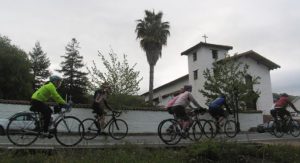 Shortly after leaving Ohlone College you will pass Mission San Jose on your right, which was founded in 1797. It is the fourteenth of the 21 Spanish Missions in Alta California. The mission church was destroyed in the earthquake of 1868 and was rebuilt in the last century. At the height of the mission, there were over 100 buildings with 12,000 cattle and an equal number of horses and sheep. It was
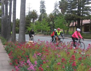 considered the most prosperous mission in Northern California. The main building is original and is the oldest building in Alameda County. It might be worth a short detour to get a picture in front of the church.
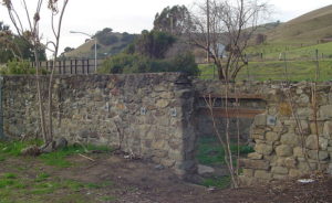 You’ll continue your descent down Mission Blvd until you reach Niles Canyon Road. Niles Canyon Road runs past the site of the Vallejo Flour Mill. Niles was established in the 1850’s and was the junction point of the Southern Pacific Railroad lines from Oakland to San Jose and southern coastal points. Vallejo Mill was the first flourishing flour mill constructed and completed in this county. It was run by water conducted in a long flume from Alameda Creek. Niles at one time was noted for the location of the California Nursery, the largest nursery in California, with the largest rose plantation in the state.
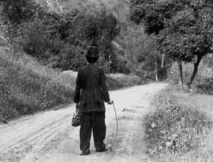 In 1912, Essanay Studios was at the height of its movie making fame. The studio, owned by Bronco Billy, made famous movies of the time starring Charlie Chaplin, Wallace Beery and Ben Turpin. Many cowboy adventures were filmed through Niles Canyon and along the main streets of Niles. Hollywood, because of more days of sunshine, became more popular.
So, it is up the Canyon to a left on Palomares Road. Palomares Road is exactly 10 miles long with the summit of the 1100-foot climb at exactly 5 miles. The steepest portion is at the beginning, so don’t despair. There are also two wineries along the way up. After the top, it is a quick decent (watch your speed on the first mile) to the first rest stop at Palomares Elementary School. Make a left onto Palo Verde Road and the stop is immediately on your left (less than 150 feet). Be cautious as bicycles are leaving the rest stop as well.
Breakfast breads and cookies are always a favorite at the first rest stop. We will also try to have coffee for a morning fix. Many people start off the ride with just one water bottle so they don’t have to carry extra weight. We also have bags to drop clothes at the first three rest stops. Just put those extra layers in a bag with your name, rider number, and cell phone number on it.
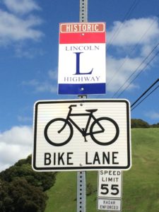
Out of the rest stop, go right on Palo Verde Road, which is part of the original Lincoln Highway, as is Dublin Canyon Road (right turn). The Lincoln Highway was the first transcontinental highway, running from Times Square in New York to Lands End in Lincoln Park in San Francisco. You will notice a sign at the beginning of Dublin Road, as well as on some of the 100 year old concrete bridges as you enter Dublin. Then it is a right turn onto Foothill Road and south to Pleasanton.
The next turn is a left on Bernal Avenue, and across the old steel truss bridge and the first right on West Lagoon and a right at the roundabout to Laguna Creek Lane, skirting the houses all the way to Valley Avenue.
Special note to those who do not feel up to the full Metric Century, just stay on Foothill, and you will save a few miles and a little elevation.
Valley will cross Sunol Blvd and become Junipero Street, which goes to Mission Hills Park. This is where the Metric and 100/85-mile routes split.
Metric Century riders will go right on Independence through some open spaces, a couple of quiet neighborhoods, a couple no-car lanes and exit into the rural Happy Valley area for a nice downhill to Pleasanton Sunol Road, with a right turn and rejoin the 100-milers on Castlewood Drive. There are two places where there may be a closed gate to eliminate cars, so a quick dismount and walking your bike for 10 or 20 feet is in order. (100k riders skip down several paragraphs till the next 100k note)
100-milers will turn left on Independence and right on Bernal bypassing the downtown area.
From Bernal Avenue turn right onto Vineyard Drive for more smooth roads into Livermore. On Bernal, you will go past Kottinger Community Park. The first commercial vineyards and winery in Alameda County were established in the 1850’s by J. W. Kottinger in Pleasanton. His barn is the oldest building in Pleasanton.
The route travels through vineyards south and west of the town of Livermore. There are several roads with bike/hike trails parallel to them. Feel free to ride them. SAG drivers will keep an eye out for breakdowns on the trails, but you need to be where they can get to you for that spare tube, to use a floor pump or to get a ride to the next rest stop. All rest stops have professional mechanics. Note that there will be bike tools and a pump, as well as bathrooms at the park at the beginning of Wetmore. At the end of Wetmore, go across Arroyo, and onto the paved path through the vineyards.
The rest stop at Rios-Lovell Estate Winery is a double rest stop, both for before and after the Altamont Loop. For those doing the 85-mile option, turn right when you exit the winery onto Tesla.
For the full 100-mile experience, turn left out of the winery to a left on Greenville Road, where you will ride past Lawrence Livermore Laboratory. Element 116, discovered in 2000, is named Livermorium in honor of the lab. Then it is to the top of the Altamont Pass on Flynn Road. It is past the windmills and a nice view of Livermore. Be extra careful on the decent as there is a diminishing radius turn just as you are getting up speed. Look for the markings on the road and slow down! You might as well enjoy the nice views. Then turn left on Patterson Pass Road, right on Cross Road, then right on Tesla Road back to the rest stop at Rios-Lovell Estate Winery. The winery has a wonderful view and good shade. You may want to come back another time to try their wines, especially the port.
After a rest and needed nourishment, it’s east on Tesla and left on Concannon, then a few turns to Vineyard and back through Pleasanton. The uphill on Bernal has been eliminated on the way back, but at the expense of a few stoplights. Sunol Boulevard goes under the freeway then it is a right turn onto Castlewood Drive to join the Metric Riders.
Castlewood Country Club was founded almost 100 years ago on the property and building of Hacienda del Poza de Verona, a mansion of Phoebe Hearst, wife of William Randolf Hearst. The mansion was expanded by Julia Morgan of Hearst Castle fame. The railroad added a stop there and Verona Bridge served the Mansion. Unfortunately, the house burnt down in 1969.
(100k riders, start paying attention again)
The route then follows Foothill Road into the town of Sunol and the next rest stop at Sunol Glen Elementary School.
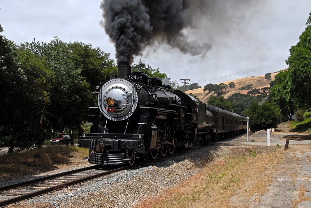 You will pass the Sunol Train Station. Niles Canyon Railway runs vintage trains from Niles to Sunol and back on many Sundays, including the day of the Primavera. They often run steam trains along the historic route.
In the town you will see a statue of Bosco, the dog who was elected mayor of Sunol.
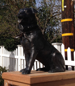 There’s a statue of Bosco (Bosco the Dog) on the left at the Post Office on Main Street, just past the post office. The stuffed Bosco is at the bar in the restaurant.
Exiting Sunol Glen School, it is left on Main and left on Niles Canyon. At the light, take a look to the right and see the Sunol Water Temple. This 1910 temple, at a mixing point of three water sources and the twin temple at Crystal Springs Reservoir are the symbol of the Hetch Hetchy Water system of the San Francisco. The temple is modeled after the ancient Temple of Vesta in Tivoli Italy (Tivoli is where much of the waters that fed Rome converged in the foothills of the Apennines). Unfortunately, the grounds and Temple are closed.
Going straight, the road becomes Paloma and then Calaveras Road after it passes under the freeway. Just past the freeway undercrossing STOP AT THE STOP SIGN, CARS EXITING THE FREEWAY DO NOT STOP!
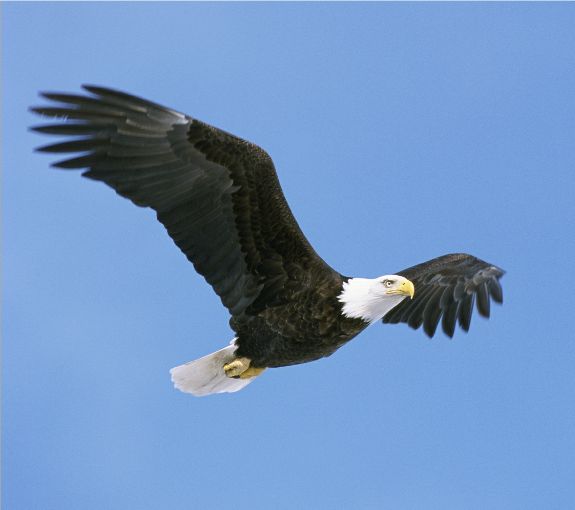 Calaveras Road then runs past a couple of aggregate plants and a Hetch Hetchy pumping station then to the last major ascent followed by views of the Calaveras Reservoir. In addition to sweeping views of the lake and dam, there is plentiful wildlife. You may see bald eagles, red tailed hawks and golden eagles roaming the skies. The reservoir was the largest earth filled dam in the world when it was constructed in 1925 as a water supply for San Francisco. The dam was recently replaced for seismic safety. The Calaveras Fault is nearby. It was a major undertaking. It’s worth a picture or two.
Please be extra careful on the downhill at “the Wall” and beyond. Cross traffic, cars and bicycles, don’t stop at the intersection at the base of “the Wall”, so make a good stop and look.
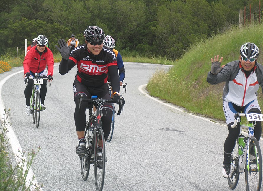 The last rest stop before the finish is at Spring Valley Volunteer Fire Department. Take a quick break and have an ice cream or Popsicle to enjoy the last stop of the ride back. After the rest stop, be extra careful of bad pavement. There are some bad sections of road between there and Downing Road, so use your brakes and be careful.
Once in Fremont, the route goes through the Warm Springs district of Fremont, then back to the college along Mission Boulevard. After turning right onto Mission Blvd, the next road is Stanford Avenue, where Leland Stanford had vineyards and a winery. Then it is two miles, or so, to the finish line at Ohlone College. Ohlone College, named for the original residents, the Ohlone Indians, is on the right.
You will finish the route along a stand of olive trees back at Hyman Hall. The olive trees that you see were planted by the missionaries over 200 years ago. A nice warm meal awaits the victorious riders. Please check in to get your meal ticket and lots of goodies.
28 mile Fun route
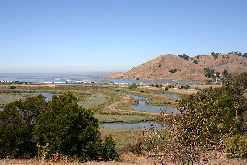
The 25 mile Fun Ride exits Ohlone College, turns right on Mission Blvd. and to the Mission, with a left on Washinton Blvd, just before Mission San Jose. It is a quick downhill to a right on Paseo Padre Parkway. HEADS UP: Be careful of a traffic island right in the middle of the bike lane on Washington Blvd. From there the route follows Paseo Padre through Fremont, past Central Park to Coyote Hills Regional Park and a rest stop. The route continues past the Visitor’s Center to Alameda Creek. Then the riders get an option to cycle all the way to the edge of the bay for a view of San Francisco and lots of wildlife. It’s 2 miles there and 2 miles back but it’s all flat and there is often a good view of San Francisco. Then the route goes along the Alameda Creek Trail bike path to a second well stocked rest stop. The route continues to the end of the trail at the mouth of Niles Canyon.
Niles Canyon Road runs past the site of the Vallejo Flour Mill. Niles was established in the 1850’s and was the junction point of the Southern Pacific Railroad lines from Oakland to San Jose and southern coastal points. Vallejo Mill was the first flourishing flour mill constructed and completed in this country. It was run by water conducted in a long flume from Alameda Creek. Niles at one time was noted for the location of the California Nursery, the largest nursery in California, with the largest rose plantation in the state.
 In 1912, Essanay Studios was at the height of its movie making fame. The studio, owned by Bronco Billy, made famous movies of the time starring Charlie Chaplin, Wallace Beery and Ben Turpin. Many cowboy adventures were filmed through Niles Canyon and along the main streets of Niles. Hollywood, because of more days of sunshine, became more popular.
A restroom and a water stop await the riders there at the Niles Staging Area rest stop.
From there, the route crosses over a railroad track, and down a little way to cross under the same track and a left onto Mission Blvd with Mission Peak dead ahead and usually a nice tailwind. There is a railroad undercrossing just past Stevenson with no bike lane. Watch the signs and you can take the sidewalk with its own tunnel. At Palm Avenue, it is a right to avoid the freeway interchange and through a couple of neighborhoods and back to Mission Blvd. Just before the Mission, there is a narrow bridge, and we recommend taking the sidewalk with its own bridge. Continue past Mission San Jose (photo op) south on Mission Blvd past Anza St/Witherly Lane to the next crosswalk. Stop, use the crosswalk, cross Mission and finish the ride along a spectacular lane lined with centuries old olive trees to the finish line at Ohlone College and get your post-ride swag and hot meal.
![]()

